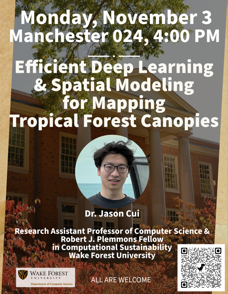
Efficient Deep Learning and Spatial Modeling for Mapping Tropical Forest Canopies by Dr. Jason Cui

Join us Monday, November 3 at 4:00 PM in Manc 024! Dr. Jason Cui will talk about his research titled Efficient Deep Learning and Spatial Modeling for Mapping Tropical Forest Canopies.
Abstract: Accurately mapping and analyzing canopy palms is vital for understanding tropical forest structure, biodiversity, and ecological change, yet it remains challenging due to overlapping crowns and complex canopy textures. This talk introduces an efficient deep learning approach that enables large-scale detection, segmentation, and spatial analysis of tropical forest canopies from UAV imagery. I will also discuss a statistical model developed to simulate palm spatial distribution, capturing both clustering and dispersion patterns across ecological gradients. Together, these studies demonstrate how computer vision and spatial analysis can advance our understanding of forest organization and support data-driven conservation.
Jason Cui is a Research Assistant Professor and the Robert J. Plemmons Fellow in Computational Sustainability at Wake Forest University, working jointly with the Departments of Computer Science and Biology. He received both his B.Sc. and Ph.D. in Mathematics from the City University of Hong Kong. His research focuses on computer vision and machine learning for ecological and medical imaging. He has worked with satellite and UAV imagery on a range of remote sensing tasks, including species identification and environmental change detection, as well as with cardiovascular-related data such as ECG signals and echocardiogram videos. His broader research interests center on developing scalable, efficient, and interpretable learning frameworks for data-intensive scientific applications.
All are welcome!
